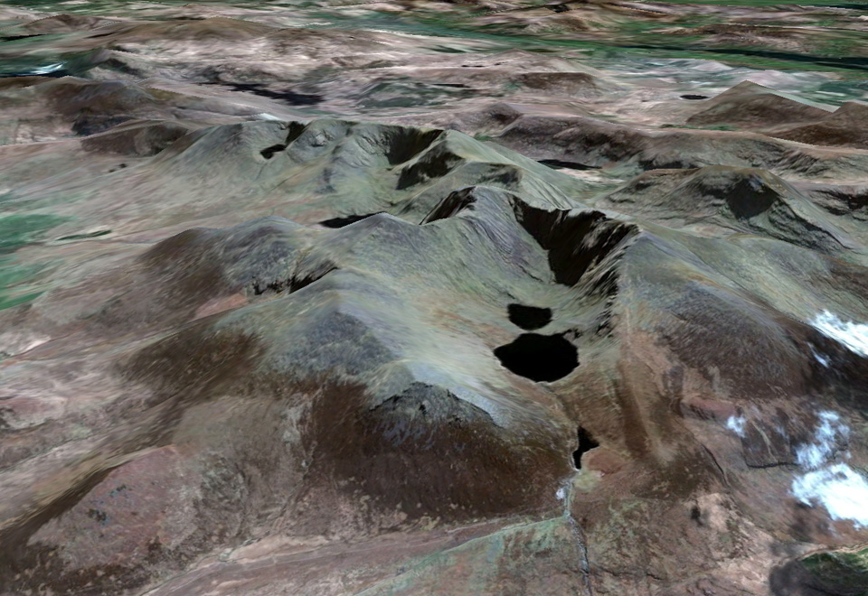
In the past few days Ireland has received yet another high resolution satellite imagery update in Google Earth. This follows similar updates that we reported in November and December of last year.

Ireland’s highest mountain Carrantuohill in County Kerry was among the areas to receive imagery updates
This update is probably the largest in recent times with parts of Antrim, Clare, Cork, Derry, Donegal, Down, Fermanagh, Galway, Kerry, Leitrim, Longford, Louth, Mayo, Meath, Monaghan, Roscommon, Sligo, and Tyrone all receiving imagery updates.
Well over one hundred different countries have received updates along with Ireland. So see a complete overview of all areas updates, download this KML file and open it in Google Earth.


