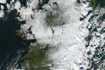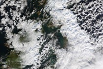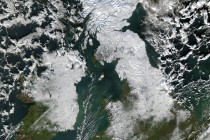
NASA’s Earth Observatory has released another stunning satellite photograph of Ireland and the UK blanketed in snow.
The image, taken yesterday (December 8th 2010), shows much of the Republic of Ireland, Northern Ireland, Wales, Scotland, England and the Isle of man covered in pristine snow.
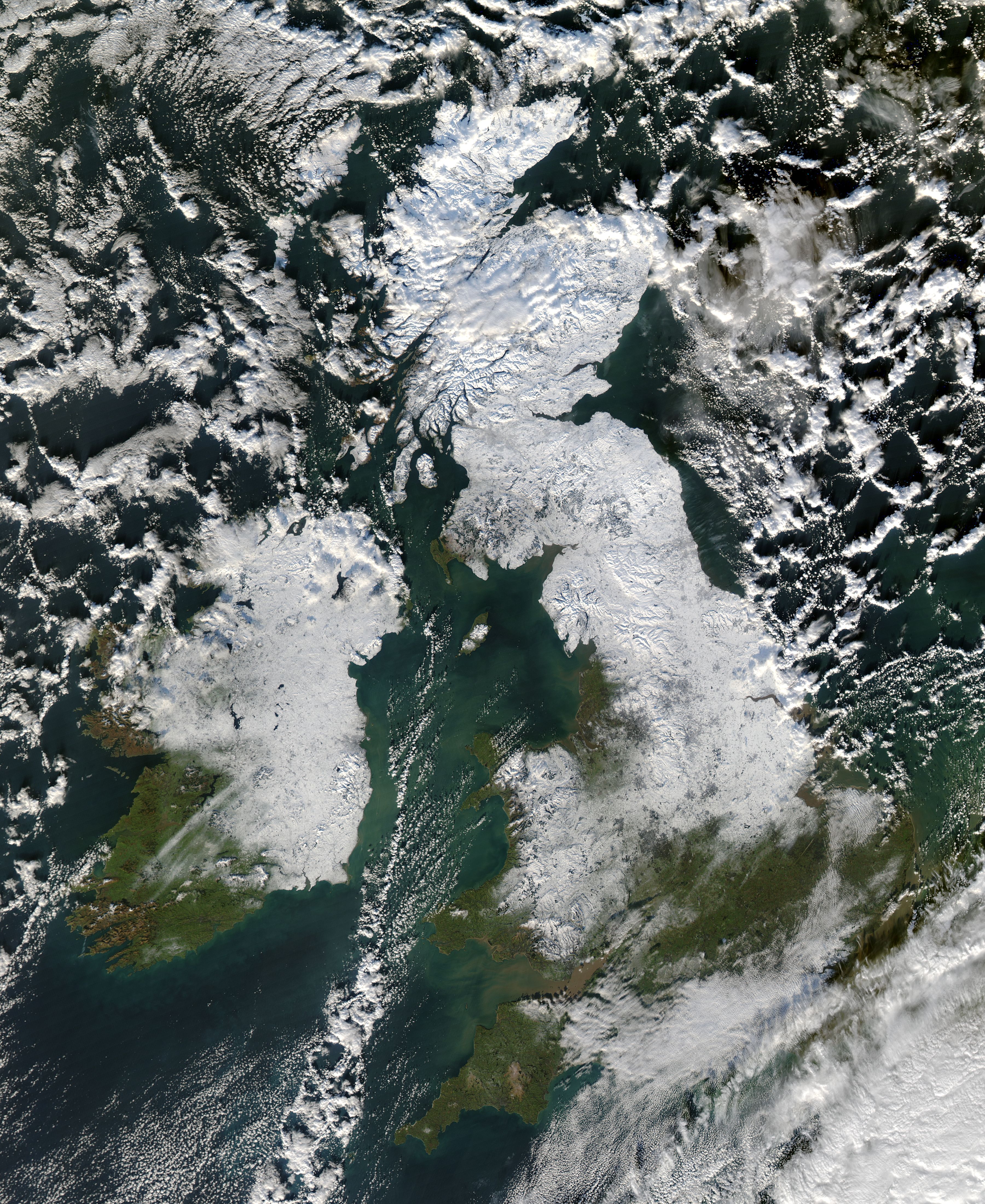
This latest image from NASA’s Aqua satellite shows less of the three islands covered than previous photos with parts of Southern England and Ireland showing their in emerald green fields.

Nasa says of this latest image,
Snow extends from Northern Ireland southward past Dublin, and from Scotland southward into England. Snow cover stops short of London; the white expanses in that area are clouds. Snow and clouds present an almost uniform white to the satellite sensor, but clouds can be distinguished from the underlying snow by their billowy shapes and indistinct margins. Rugged hills and gray-toned urban areas interrupt the snow cover, especially in northern England.
This is expected to be one of the last image of the snow taken by NASA before the onset a thaw this week.
View our gallery of NASA’s satellite images of Ireland and the UK covered in snow.