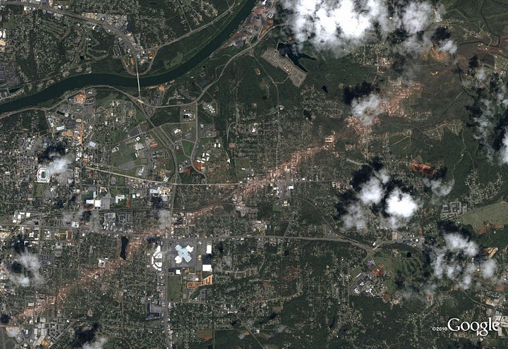
A massive scar, caused by one of the most destructive tornado super-cells to hit the US in 30 years, stretches across the Alabama city of Tuscaloosa in these satellite images just released by Google.

Tuscaloosa 2011 Credit:Google
Between April 25 and April 28 180 tornadoes have been reported causing over 300 deaths in large parts of the mid US. President Obama has visited the scenes and has promised that the Federal government will help rebuild.
The President said “I want every American who has been affected by this disaster to know that the federal Government will do everything we can to help you recover, and we will stand with you as you rebuild.”
These before and after images show the destruction caused to Jefferson County and Pleasant Grove.

Jefferson County 2010 Credit:Google

Jefferson County 2011 Credit:google

Pleasant Grove Credit:Google

Pleasant Grove 2011 Credit:Google