Winter stores have abated in Ireland, the UK and Northern Europe but Canada and the North Eastern United States, especially New York and New England, are currently being battered with over 29 inches (73CM) of snow.
Click here for live video from New York.
CNN has three live web cameras covering the snow storm from Connecticut, Philadelphia and New York. The New York camera is mounted on the top of a car travelling though the city’s traffic.
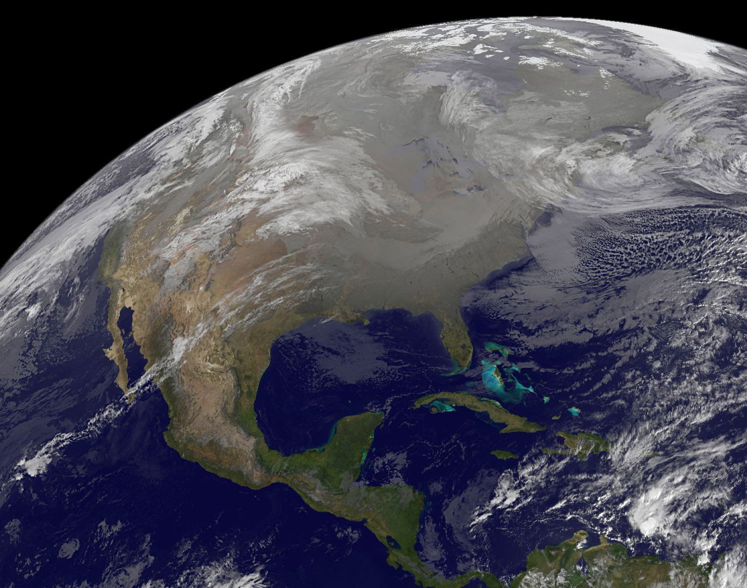
NASA’s GOES Satellites have captured this view of the north eastern region of the states from December 23rd. This image shows the extent of the storm over the US and Canada; conditions have worsened since this image was recorded.
NASA says on their siteThe image showed a large area clouds from the U.S. southwest stretching north. Those clouds are associated with a low pressure area currently over Colorado. The storm system affecting the Southwest is forecast to move eastward and slide off the coast. It could then track north along the coast and bring some heavy winter weather to coastal areas from the Carolinas northward. Travel could be affected particularly Sunday and Monday along the U.S. East coast from this storm system. NOAA will be tracking the storm and issuing forecasts over the weekend as the low moves. On Thursday, Dec. 23, the GOES image showed clouds over eastern New England that are associated with a low already out to sea and taking rain with it.
CBS New York is live streaming video of New York as the storm hits the city. There will be occasional blackouts of the video during commercials.
This morning [7:10am EST] Reuters said of the storm
New York City, eastern New Jersey and western Long Island were the hardest hit by the storm, which unleashed powerful winds and dumped up to 29 inches (74 cm) of snow in some parts, the U.S. National Weather Service said.
JFK International and other New York-area airports were closed on Sunday evening and expected to reopen on Monday afternoon, the Federal Aviation Administration said. Some travelers slept in airport terminals, while others sat on grounded planes.
A static live view of the storm from the Empire State Building can be seen here.


