The Google LatLong team have released an imagery update which is available now in Google Earth and Google Maps. The update is extensive and includes high resolution aerial imagery updates for Australia, Japan, Scotland, Wales and the US, and satellite imagery updates for eighty-five countries, including large parts of Ireland.

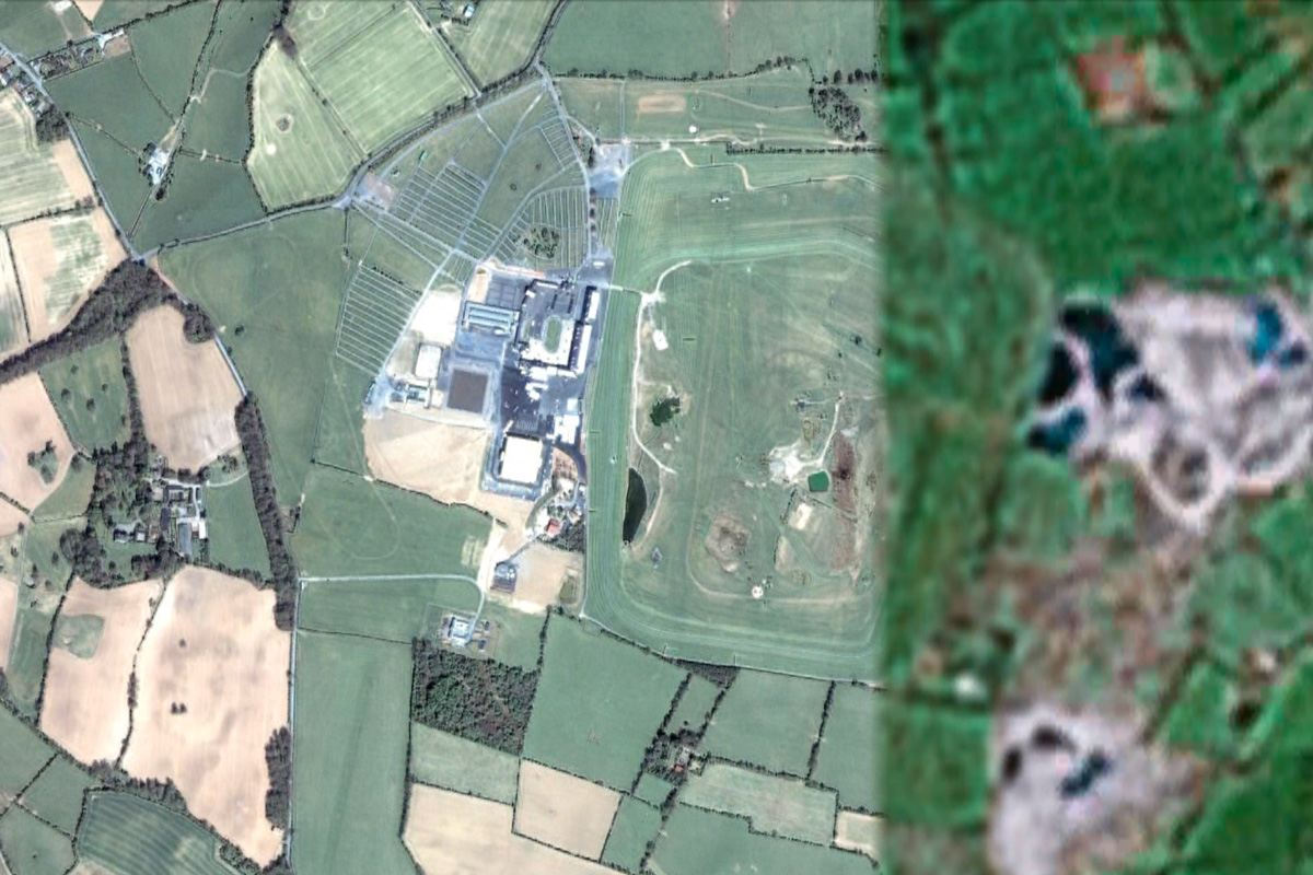
Punchestown Racecourse in County Kildare - the venue for this year's Oxegen music festival
Ireland continues to receive imagery updates almost on a monthly basis. While this statement may sound encouraging, updates are largely borne out of necessity to establish basic imagery for the entire island. For the most part only average quality images exist of rural Ireland. The large volume of updates that we’re receiving are merely bringing us up to speed with the likes of mainland Britain.
Still, any updates are welcome updates, and this particular release is especially large. Almost every county in Ireland has received some form of update, however small, excluding counties Dublin, Fermanagh and Sligo. The image above of Punchestown Racecourse in County Kildare, that straddles the border between old and new imagery, illustrates the difference in quality achieved by most updates.
For a complete overview of all counties, and other countries updated, download this KML file and open it in Google Earth.