Share

Topics
Tags
, , , ,

Ireland receives large satellite imagery update in Google Earth

In the past few days Ireland has received yet another high resolution satellite imagery update in Google Earth. This follows similar updates that we reported in November and December of last year.

Ireland’s highest mountain Carrantuohill in County Kerry

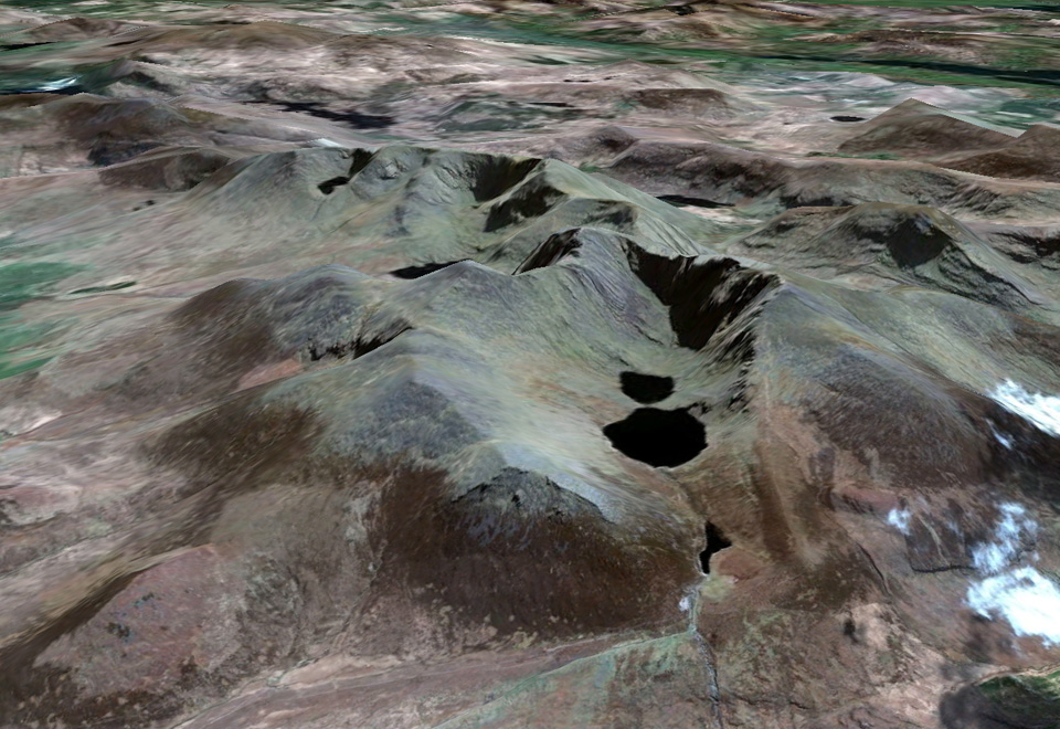
Ireland’s highest mountain Carrantuohill in County Kerry was among the areas to receive imagery updates

This update is probably the largest in recent times with parts of Antrim, Clare, Cork, Derry, Donegal, Down, Fermanagh, Galway, Kerry, Leitrim, Longford, Louth, Mayo, Meath, Monaghan, Roscommon, Sligo, and Tyrone all receiving imagery updates.

Well over one hundred different countries have received updates along with Ireland. So see a complete overview of all areas updates, download this KML file and open it in Google Earth.

About the author
Darren McCarra is co-editor of The Sociable. He has a keen interest in photography, all things mobile, and writing about technology and social media. You can follow him on Twitter, Facebook and, to a lesser extent, Google+.
Comments
Post comment as twitter logo facebook logo
Sort: Newest | Oldest

Trackbacks

  1. [...] This post was mentioned on Twitter by Darren McCarra, The Sociable. The Sociable said: Ireland receives large satellite imagery update in Google Earth http://bit.ly/gZIjgS via @thesociable [...]

  2. [...] Ireland Receives Largest Imagery Update On Google Earth (The Sociable.ie) [...]