The big G has released some nice updates to its maps of Ireland’s capital, so we can now view dear ol’ dirty Dublin in extra fine detail.
With this update street markings are now clearer and generally everything’s less blurry, but, more important than that, with this update we get to see more of Dublin life.
Google Maps’ new imagery for Dublin
Google’s old imagery for Dublin
Jump over to Merrion Square park, and you’ll see the folks setting up the Street Performance World Championship
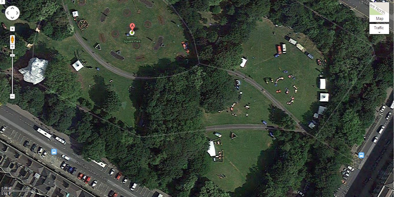
Merrion Square Park, Dublin View on Google Maps
Over on Grafton Street you’ll see the Council replacing the old red bricked walkway with the new granite stones
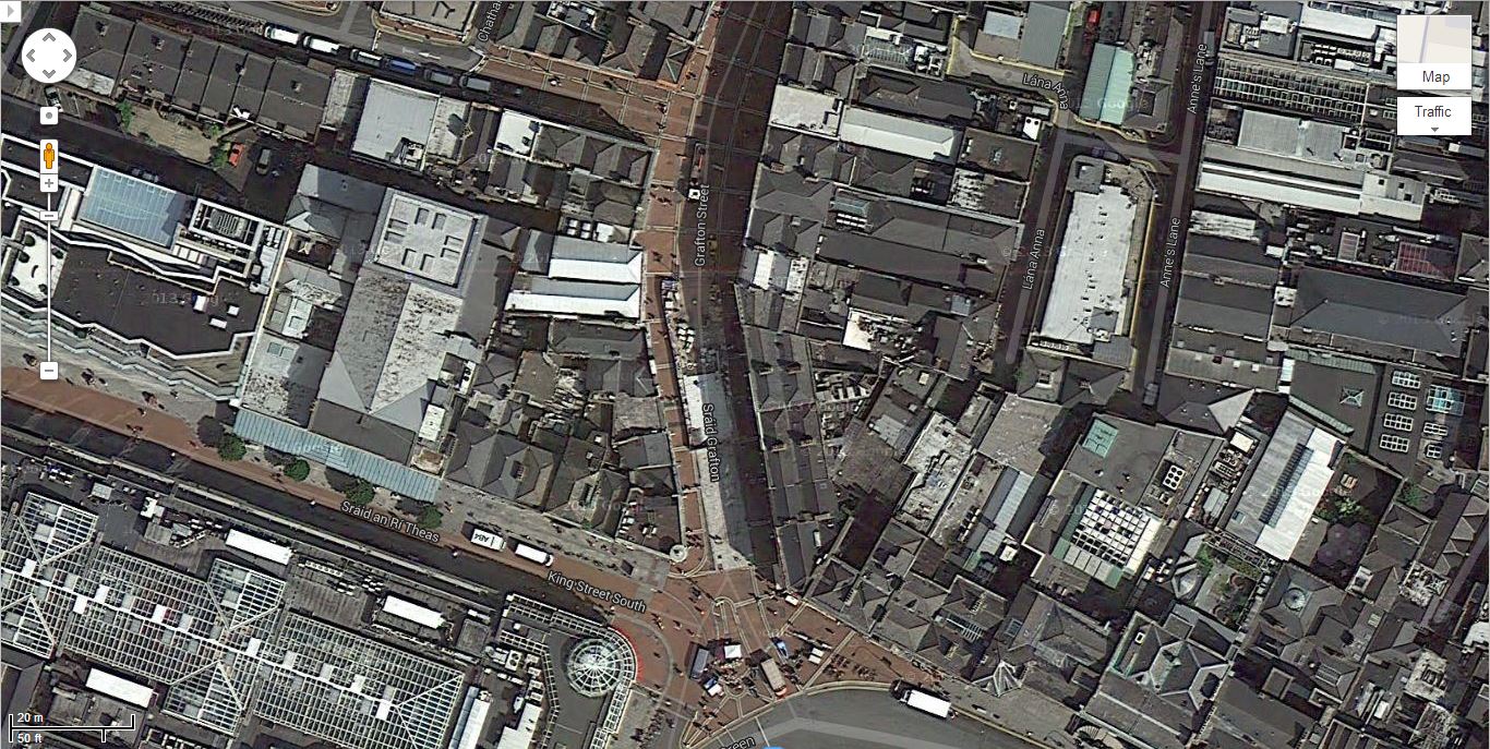
Grafton Street Dublin View on Google Maps
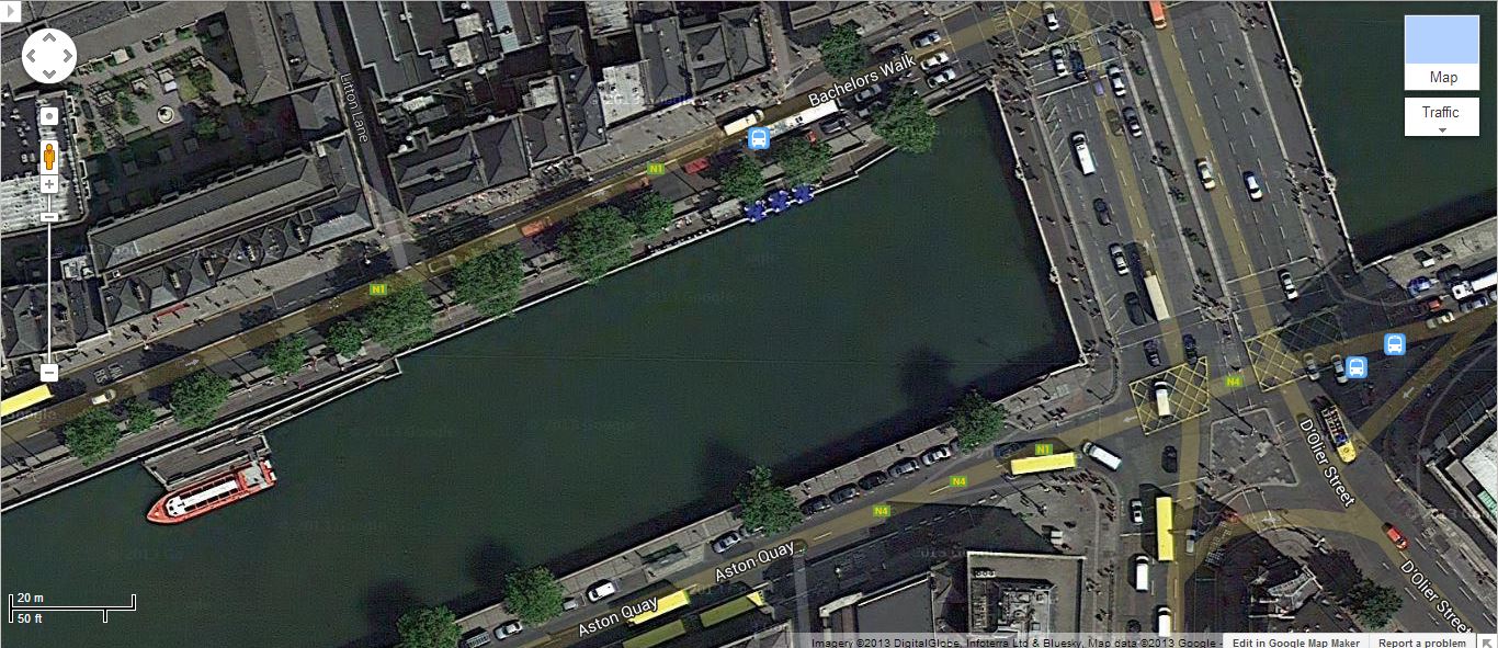
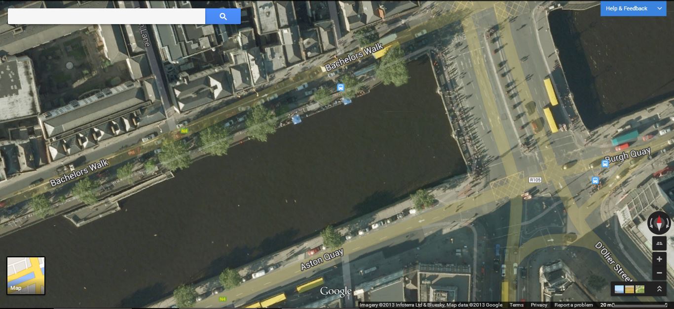
Across the Liffey, Google’s satellites recorded the construction of the, as yet, unopened Rosie Hackett Bridge
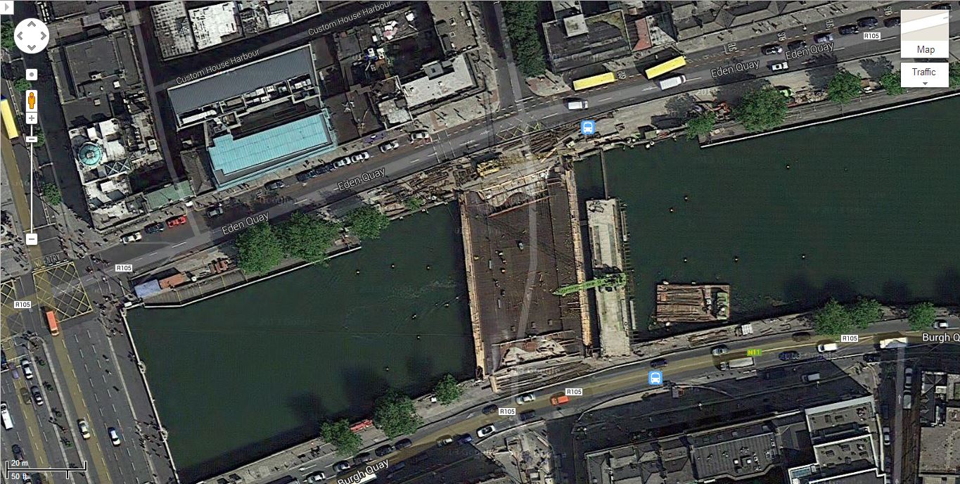
Rosie Hackett bridge View on Google Maps
If you want to check these out for yourself, you’ll have to use Google Earth, or the old Google Maps.