After bringing light to Apple users this morning with the release of Google Maps for iOS Google is now bringing darkness to Google Maps users.
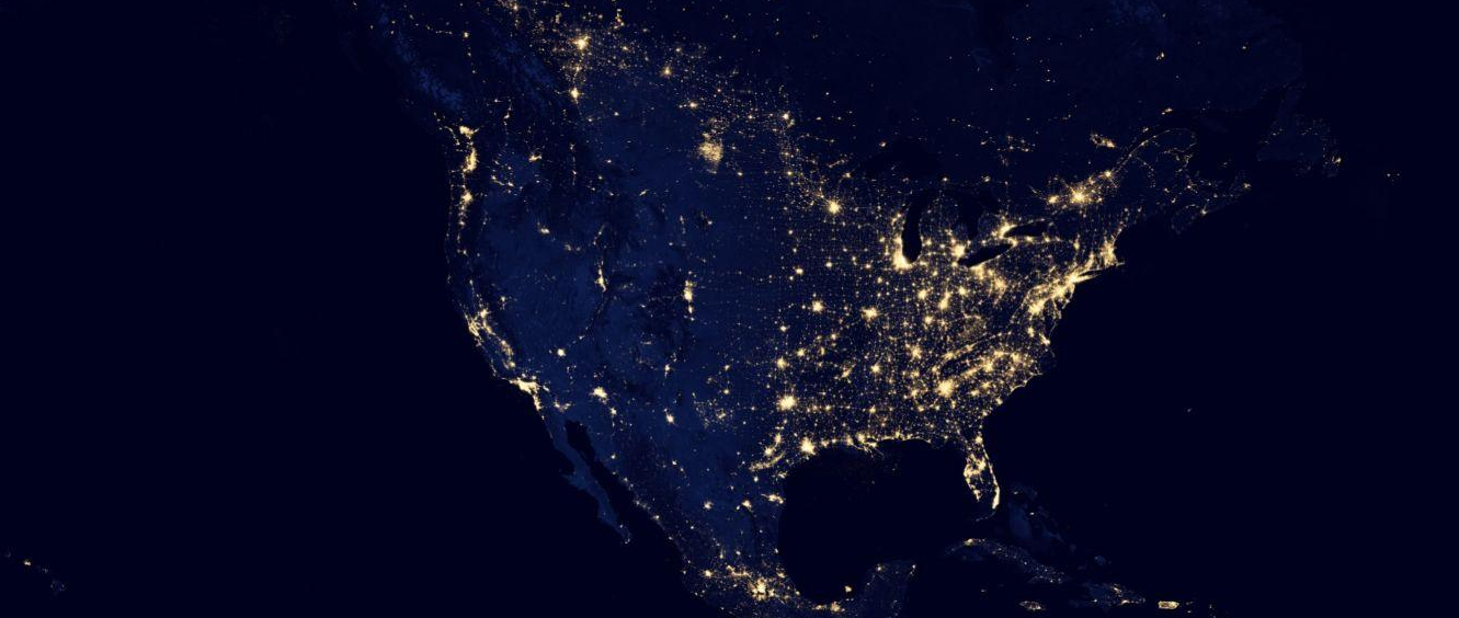
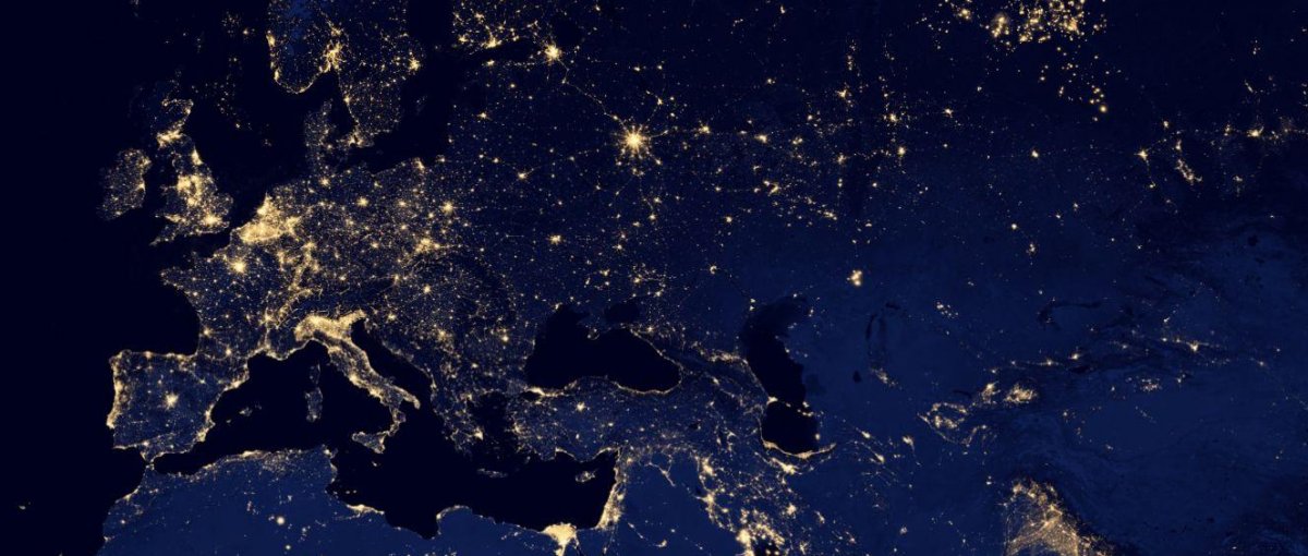
Last week NASA released amazing images of the Earth at night taken by its Suomi NPP satellite. Describing them as the most detailed images of the Earth after dark, NASA’s images were almost too big for most users to view. In fact, so fine are the images that they show the world’s cities, towns, roads, and even ships at sea as they light up the sky with man made light.
But such was the detail of the graphics that the largest, most detailed, image of the planet was over 385 MB in size (about the same as a long YouTube video).
Downloading and viewing such an image was difficult for most users so Google has taken the high resolution image and applied it to its Google Maps process to create an interactive view of the Earth at night, which you can explore as you would any map on Google.
And that’s what makes this such a valuable collaboration between Google and NASA – you can see the names of the cities, towns, villages and roads that illuminate the sky at night.
As with any Google Map you can explore the world using the standard zoom and scan controls you’re used to. But unlike NASA’s edition of the map Google lets you search for specific locations and cities using a standard search field. Zoom in on the European continent and you can see roads that connect Moscow to Paris and discover the names of the towns and villages along the way.
If you want to explore the map in even more detail you can download the NASA KML file of the Earth at night and open it in Google Earth.


