Here’s a challenge. If I gave you two minutes and access to the Google Maps Android or iOS app could you find the precise latitude and longitude of the Eiffel Tower?
I wager that you won’t be able to. Sure, you can search for the Eiffel Tower and you’ll be shown its location. You could even be standing under the thing and, with GPS turned on, you’d still have difficulty getting its geo-coordinates.
So, if you’re wondering how you can get the coordinates for any location on Earth, read on below.
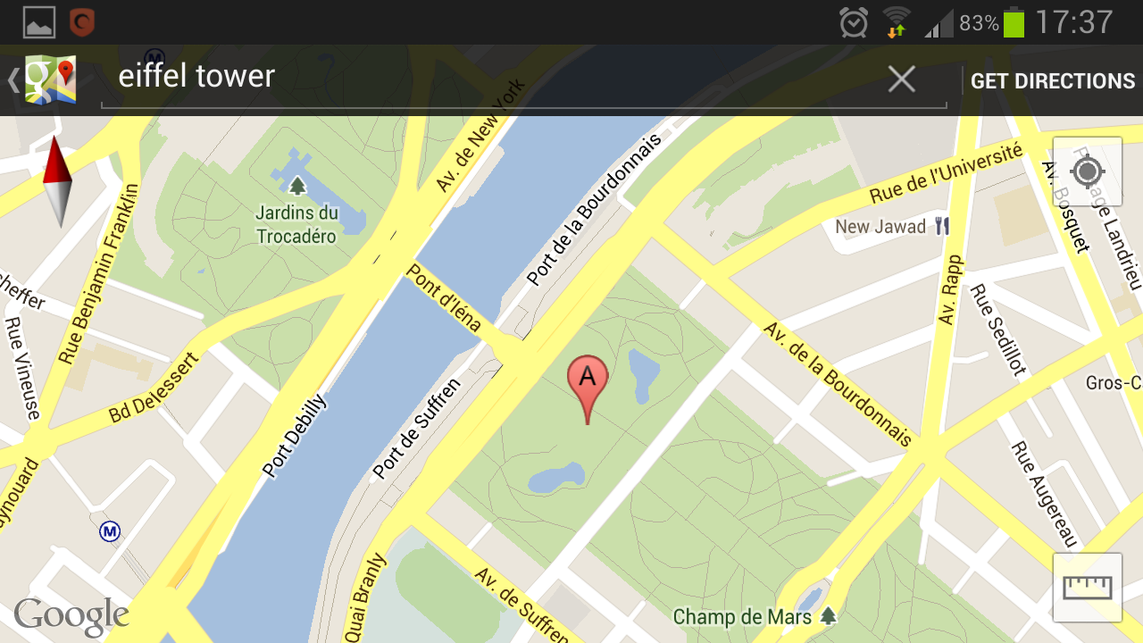
To find your latitude and longitude, or the coordinates for any location, using the Google Maps app you must first find your general location. So, if we’re looking for the coordinates for the Eiffel Tower, search for the structure with the app.
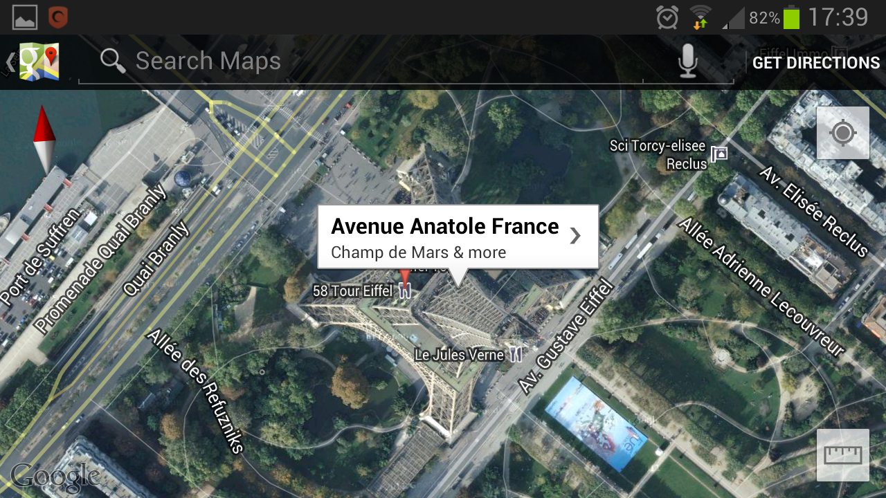
Once you have the general location then you can find the specific coordinates. Zoom into the location as far as the app will allow, then press and hold on the place you want the coordinates for.
The app will then show you the name of the nearest point of interest, click on this.
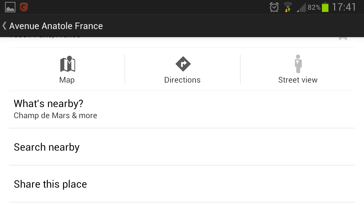
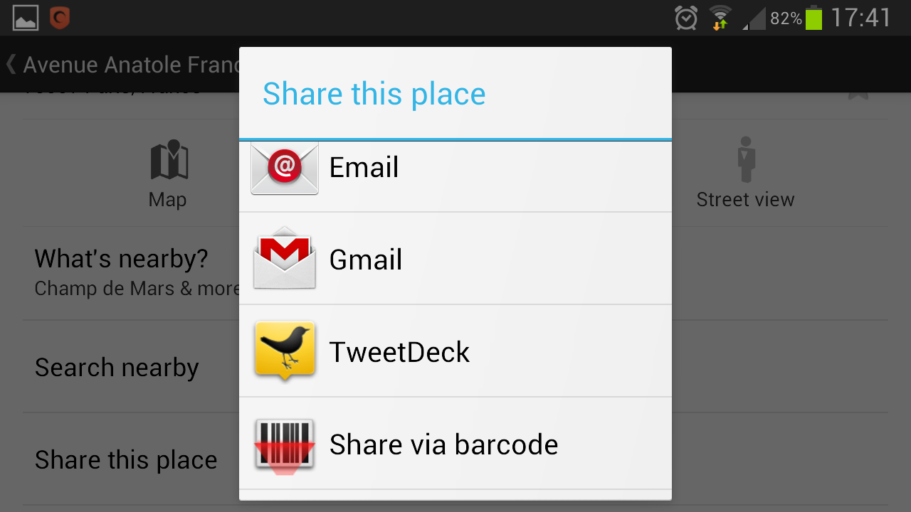
On the information screen select the option “Share this place” – you’ll then be given some share options for the location.
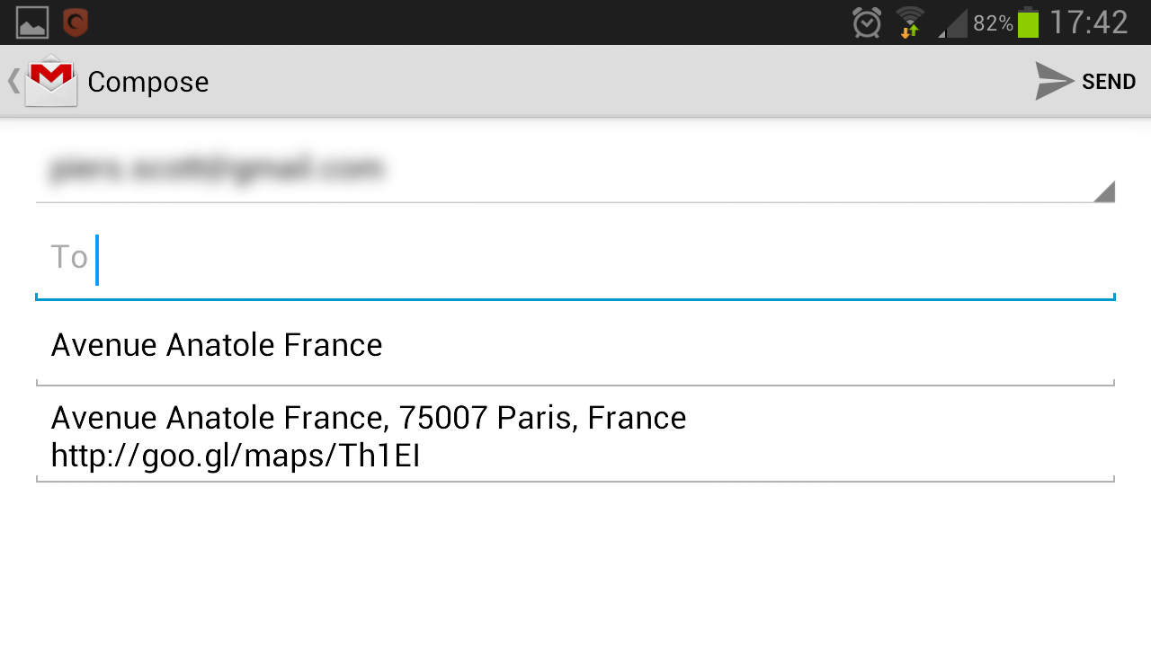
Once you do this the app will generate a short link (goo.gl) for this location (in our case, this link).
This link will then show you the absolute coordinates for the location you want, which you can use to discover more about the area (in case you’re wondering the Eiffel Tower can be found at 48.858255, 2.294669).


