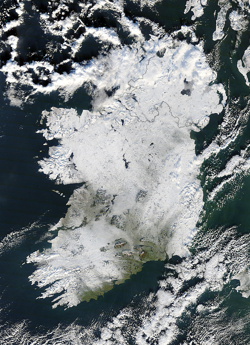
Ireland and the UK face further bouts travel chaos, burst water pipes and closed schools with the return of heavy snow for the rest of the winter, according to NASA. NASA made the warning following the release of stunning new image of Ireland swathed in snow.
[Update – November 2011 – The Met Office has made its forecast for the Winter of 2011/2012]
The image was recorded on December 22nd by NASA’s Terra and Aqua satellites under the operation of the MODIS Land Rapid Response Team. This is the same team and equipment NASA is using to record the massive flooding in Australia’s Queensland region.
Although the snow has melted since the image was recorded thousands of people in Ireland, Northern Ireland and the UK are still suffering the consequences as gallons of the countries’ domestic water supply is lost through broken pipes. In Northern Ireland alone over 800 people are still without water, over a week after the beginning of the thaw.
Describing the image, NASA’s Jeff Schmaltz said,
Although it has just begun, the winter of 2010-2011 threatens to be just as challenging. The earliest widespread snowfall since 1993 occurred on November 24, primarily affecting Great Britain and Scotland. Two days later snow began to cover Ireland, and the continuing severe weather has taken a toll. It has disrupted air, road and rail travel, closed schools and businesses, and caused power outages. Livestock and horses have had difficulty finding grass to eat, some relying on volunteer feeding efforts for survival. Local temperature records were broken, including a new record low for Northern Ireland of -18.7°C (-2°F) at Castlederg on December 23. As of that date, 20 deaths had been attributed to the winter weather and associated hazards.


